Sampling YOUR City
Thanks to the amazing work of Nikhil Patel, Nico Marchio, and Julia Koschinsky from the University of Chicago's Center for Spatial Data Science, we've now brought our popular sampling incomes activity to cities across the United States! Check out the new materials and see if they cover a city near you:
Incomes in Your City
Lesson 4.2
Students use random sampling methods to estimate household incomes, investigate the shrinking of middle class neighborhoods, and discuss school funding.
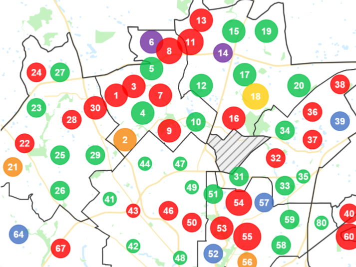
To create the maps, the UChicago researchers automated the process we used to create the original San Antonio map. Then, they applied the algorithm to cities across the country, using the latest census data. Due to differences in city boundaries, we could not successfully apply the algorithm to all major cities. However, each year we hope to continue improving and expanding the maps offered.
We're thrilled that the University of Chicago team shared their expertise to help us make this activity even more relevant for classrooms across the country. We can't thank them enough. In addition, we'd like to give a special shoutout to educators Gina Testa, Allyson Even, Mark Krans, and Bobby Flores, whose early work helped guide us to the maps you see today. Thank you!
Let's skew it!